ACTIVE TOURISM IN EL PINAR-HIKING ROUTES
Hiking is one of the activities that is experiencing a greatest growth in the Lecrin Valley in general, and in the municipality of "El Pinar", in particular. In this case, there are trails that stand out for their layout, symbology and environment.
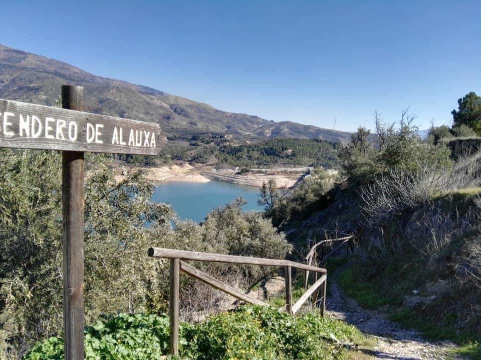
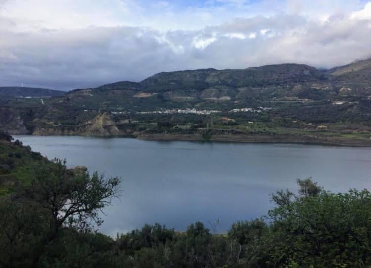
- Alauxa Path: through this trail that runs through the municipality of Pinos del Valle you can discover the surroundings, the citrus fruits all around and the landscape so characteristic of this place. This route can be done from the town of Pinos del Valle to the Beznar reservoir or to Ízbor. The starting point can be both the quarter down in Pinos del Valle and the surroundings of the Beznar reservoir. Along the route you can see the Tajo de las Cuevas, where there is a picnic area and some pools and cultivated fields. The Route from Pinos del Valle to Ízbor has an extension of approximately 14.7 kilometers and its technical difficulty is moderate. Wikiloc
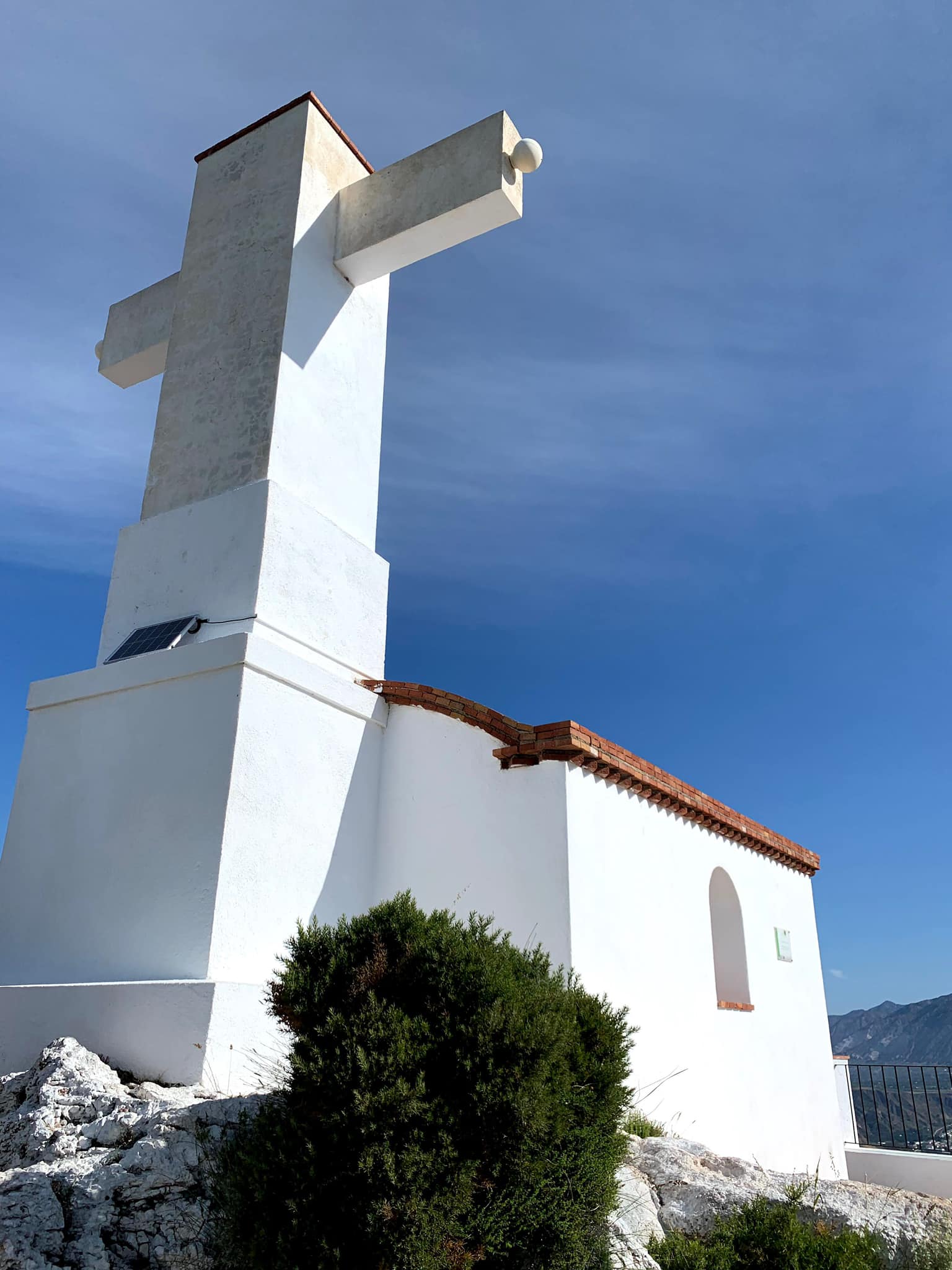
- Santo Cristo del Zapato Route: this route through Mount Chinchirina is loaded with great symbolic value and a strong tradition, all represented by the Santo Cristo del Zapato. The route is well signposted and begins at the Barrio Alto washouse. The trail runs through pine forests and the climb is moderate, although with a steep slope. The extension is approximately 5.5 kilometers. The views from the hermitage located at the top are spectacular and offer a 360º panoramic view of the entire Lecrín Valley. Wikiloc
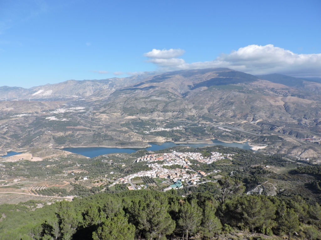
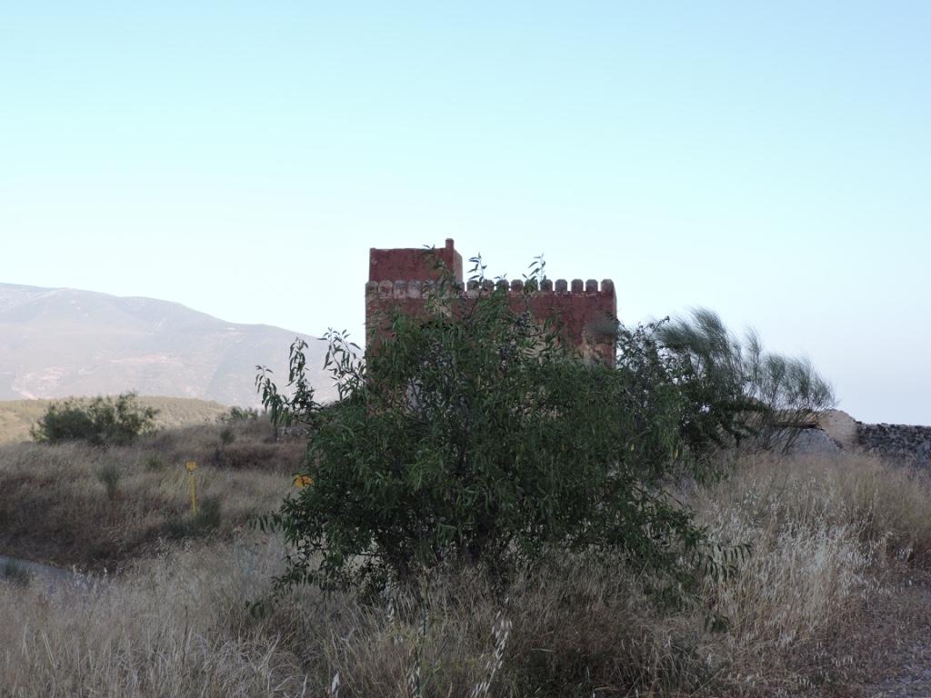
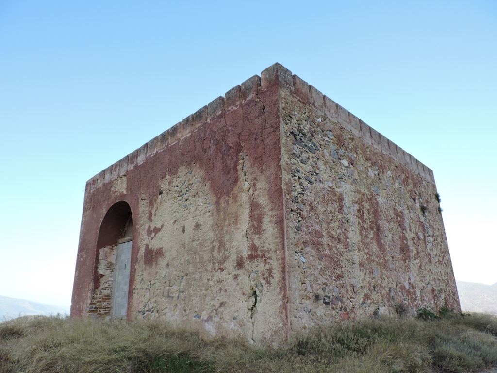
- Ízbor-Venta de la Cebada-Acebuches Route: it is a circular route that also includes one of the most significant monuments of the Pinar: La Venta area and the castle of la Cebada, a 20th-century fortress located on the old royal road that linked Granada and Motril. This path is of medium difficulty and it has an extension of 16.6 kilometers. Wikiloc
- Boar Trail: this trail runs along the slopes of Mount Chinchirina and it is ideal for cycling, as well as walking. The path is narrow and the starting point coincides with the start of the ascent to Santo Cristo del Zapato. It is a one-way route and has an extension of approximately 8 kilometers. One of the passing places is near the campsite managed by Valley Scout and the route is marked with wooden signs and white painted signs. Wikiloc
GO TO BLOG
