One of the main tourist resources of Dúrcal and the Lecrín Valley is the River Dúrcal.
A river that feeds on the snows and waters from the Sierra Nevada, on the slopes of the Sierra de Dúrcal, which run from Pico del Caballo (3,011 m altitude) to the Tozal del Cartujo (3,151 m).
Born in the Laguna del Carnero (2,700 m) after making a descent of 2,000 m. Through the Sierra de Dúrcal tucked between mountains with several waterfalls and steep slopes, it reaches the Dúrcal plain to form a channel with only a slight incline of about 60m deep and about 200m wide. Then it continues through Conchar, Melegís, Restabal, Beznar, Pinos and Izbor; flowing into the Guadalfeo, to end in the Mediterranean.
This entire area of the Sierra de Dúrcal, located between the Los Hechos canal above and the Magara below, is full of farms and smallholdings that in the past were farmed and employed half the town of Dúrcal. Today they are used as recreational areas and have great charm, as there is a lot of vegetation, natural springs and above all, silence, tranquility and spaces for small crops. It should be noted that the nights are wonderful, as there is no light pollution. One of the darkest of skies, with the brightest stars for stargazing.
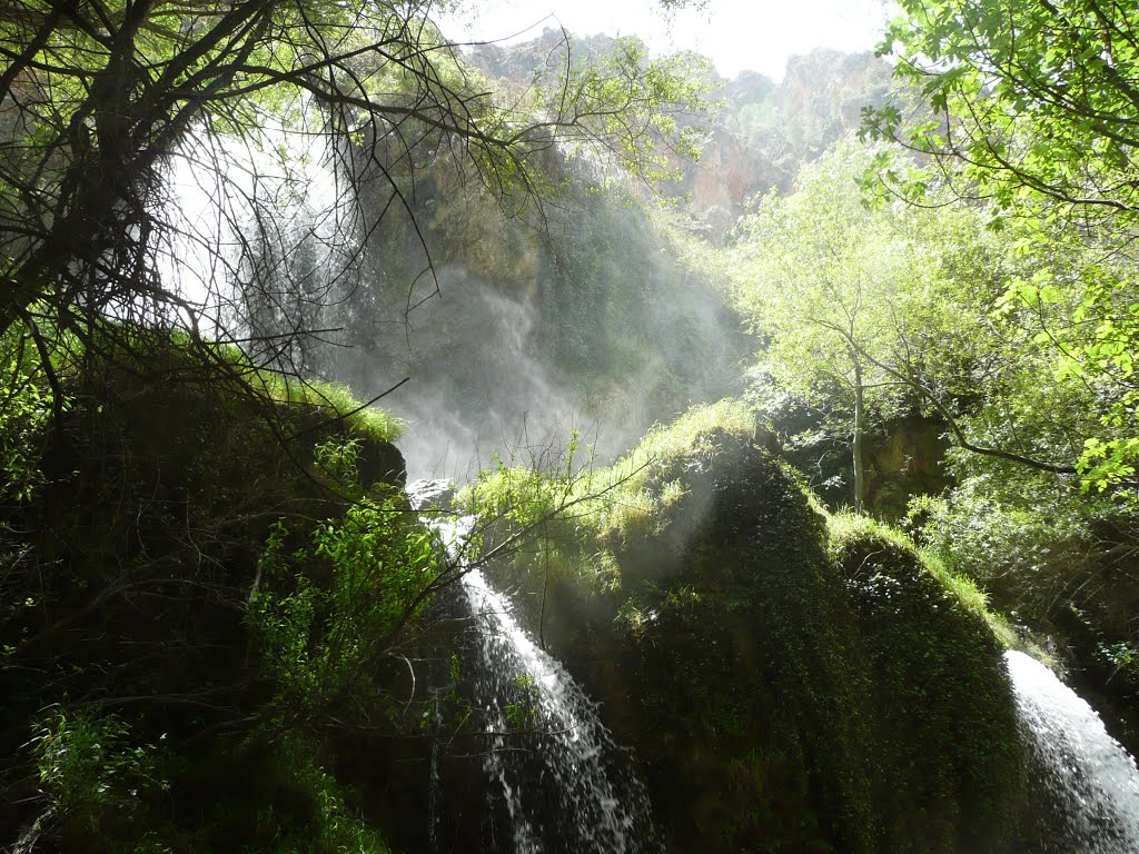
The Dúrcal river in its highest section, supplies water to the pastures and mountain range of Dúrcal, to the Magara, as well as to the Acequia de los Hechos, which in turn supplies the Nigüelas power station. To the Sevillana canal, which brings water to the Dúrcal power station. Then it enters a narrow gorge of about 7 km long, between mountains: Los Alayos, La Buitrera, La Chaja and the foothills of El Manar.
In this section, there are 5 spectacular waterfalls. Three of them are difficult to access, as one needs harnesses, climbing equipment and experience to reach these three highest: Salto del Tigre, Salto de los Poyos and Salto del Triplete.
On the other hand, it is easy to get to the lowest falls, the Canal de Fuga and Los Bolos or the Tres Chinas, by going via the Dúrcal Secondary School (Instituto) or along the river itself.
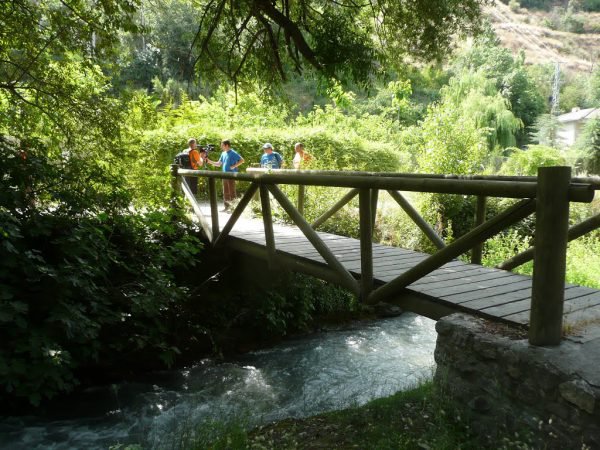
Once it leaves this enclosure, in which it has descended 1,900 m, it continues on a gentle but much more leafy course, through the most well-known and travelled channel, of about 7 km long from which it feeds the different irrigation channels: the Trance Alto, the Marchena, the Cozvíjar and the Márgena in Dúrcal.
The 5 emblematic bridges of Dúrcal are located in this section: Roman Bridge, Isabel II Bridge or stone bridge, Tram Bridge or “Tin Bridge”, New Bridge or concrete bridge over the N-323 and the Highway Bridge over the motorway.
There are also several little wooden bridges set along the river, to be able to walk this leafy stretch, flanked by a large number of trees, vegetation and recreational areas all along the river.
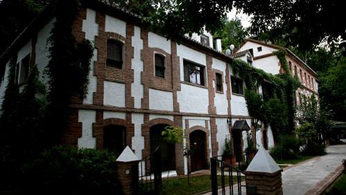
You can also appreciate different old mills (molinos), some restored: Molino Bio-Dúrcal, Restaurant and rural accommodation; El Molino de Lecrín, which is currently a farm school; on the road to Las Fuentes, you will find three, the first next to the Roman Bridge, the second, an old hotel school, now in ruins and the highest, near the Fuentes de Dúrcal, the Molino Alto.
On the border with Cozvijar, there is an old power station in ruins, which used the water that comes down the path of the Molinos from the Laguna de Padul.
Almost on the boundary of Dúrcal, you can see the mineral-medicinal springs of the Baños de Urquizar and Bacamía as well as the Los Riscos caves.
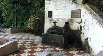
Throughout its entire route, there are numerous springs, one of the best known being the Pilar del Mono, located on the old N-323, next to the Isabel II Bridge.
Several routes leave from Dúrcal towards its river to discover and enjoy it:
The route to the Baños de Urquizar and the Arroyo del Alcázar.
Nico Molina's route
A section of Boabdil’s Way
The route to Los Bolos
The ruta de la Esperanza (Hope)
The route to the Acequia de Los Hechos
GO TO BLOG